Services
Deja is a drone start-up offering surveying, inspection, and thermal imaging services. Our team has years of experience in the industry, and we pride ourselves on providing quality services tailored to our clients’ needs. Contact us today to learn how we can help you with your next project.
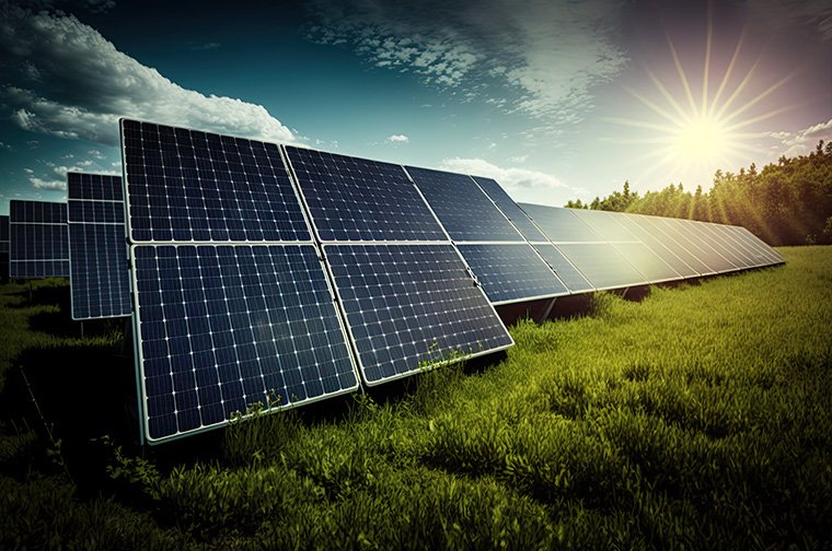
Renewable Energy Sector
Our thermal drone services redefine operations in the renewables sector by offering comprehensive aerial assessments across various energy sources. From wind farms to power stations, we provide precise inspections that identify operational inefficiencies and maintenance needs. Our thermal services help clients improve the performance and lifespan of renewable energy assets, significantly contributing to increased renewable energy production.
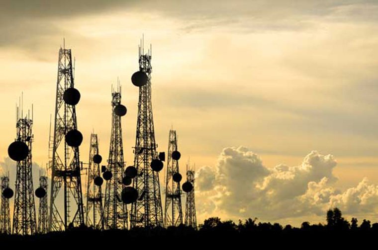
Telecommunication Sector
Drones play a pivotal role in the telecommunication sector by conducting efficient and thorough thermal inspections of telecommunication towers. Through aerial assessments, our drones swiftly identify structural issues, equipment malfunctions, and maintenance needs, ensuring network reliability and minimizing downtime for seamless operations.
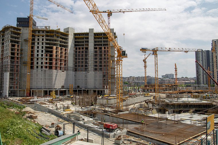
Building & Construction
In the building and construction sector, thermal drones provide invaluable support through efficient progress monitoring, detailed roof inspections, and precise heat loss assessments. By utilizing aerial capabilities, our drones offer comprehensive views of construction sites, ensuring timely progress tracking, identifying potential issues on roofs, and detecting energy inefficiencies, thereby optimizing construction timelines and enhancing structural integrity.
Other Services
Thermal drones bring a multitude of benefits to everyday life, offering cost-effective solutions and efficiency across various fields. Their aerial capabilities allow for swift data collection, remote sensing, and surveillance, aiding in tasks like disaster response, infrastructure inspections, and wildlife monitoring, ultimately improving safety, convenience, and productivity in our daily routines.
Contact Us for a Same-Day Quote
Request a Quote
Frequently Asked Questions
A drone service refers to any service provided using unmanned aerial vehicles (UAVs), commonly known as drones. This can include a wide range of applications, such as aerial photography and videography, infrastructure inspections, land and agriculture surveys, mapping services, delivery services, and more.
Drone services offer numerous benefits, including improved efficiency, cost-effectiveness, safety, and the ability to access hard-to-reach areas.
The accuracy of drone services can be incredibly high, depending on the task at hand and the technology used. For example, drone surveys using high-resolution cameras or LIDAR sensors can achieve remarkable detail and precision.
The type of equipment used in drone services varies based on the specific service. It typically includes the drone itself, which can range from small quadcopters to larger
The exact process for conducting a drone service depends on the type of service. However, in general, it involves preparing the drone and its payload, planning the flight path, performing the flight to capture data.
The duration of a drone service depends on the type of service and the scope of the project.
Weather conditions can significantly impact drone operations. Ideal conditions for most drone services are clear skies and low winds.
The cost of a drone service can vary widely based on the type of service, the complexity of the task, the equipment used, and other factors.